Hätsi, hola, hello…
I acknowledge that identifying ourselves is a common practice among Indigenous Peoples in north america. Due to colonization, assimilation, forcing western names on us, displacement, survival tactics, and the attempt of erasure from all Indigenous Life most people in what is now called Mexico can’t trace their lineage, yet this should not be a reason to question Indigeneity, nor identifying our ancestry should be the only way to introduce ourselves as Indigenous.
My name is Devora and I am an Indigenous woman from what is now called mexico. I was born in the lands of the Totonaca and Tecos peoples, in Tlaquepaque, located on the south east side of guadalajara and very close to the Indigenous neighborhood Analco. Tlaquepaque is located 1570 meters above sea level with hot weather.
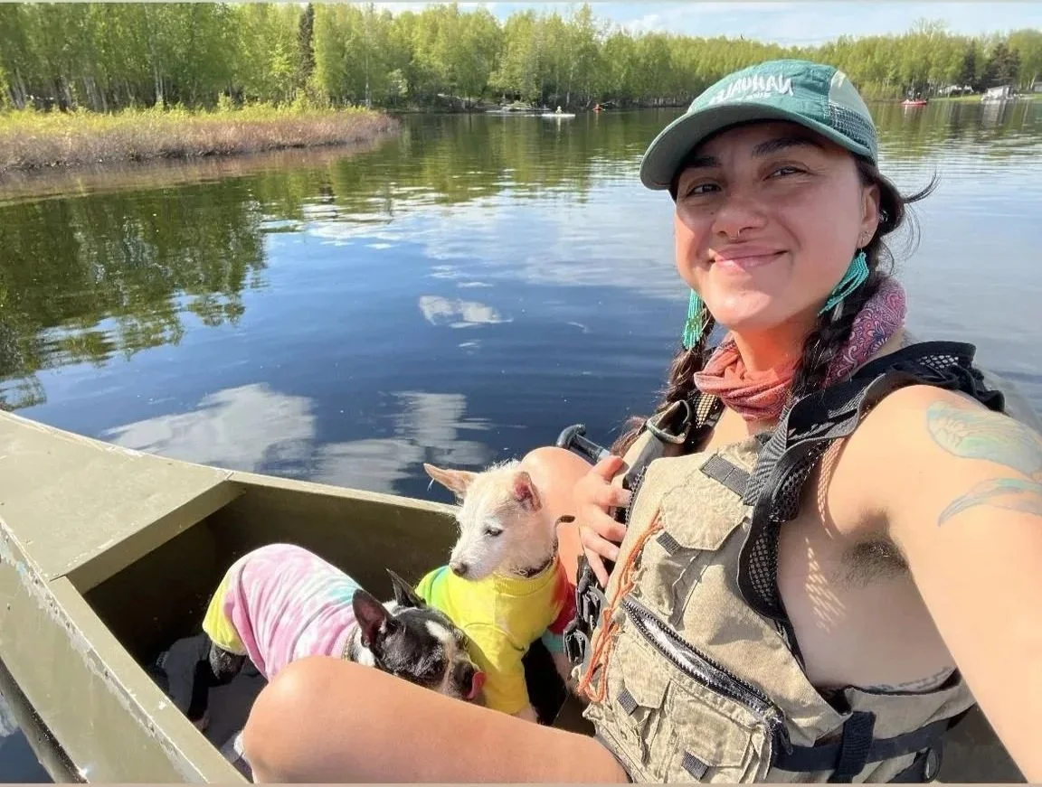
I am a relative of two dogs, the family I live with, and mutually care for each other, the forever demon called Chuleta and the sweet Facundo. I am a sister, a daughter, a friend, a lawyer, a constant learner. I am lucky to know about my lineage despite my parents, grandparents, and great grant parents passing to the spiritual world.
My household aspired to be white, and western education was forced upon me since little, starting school at only two. I have a bachelor’s in law and was a practicing student for all the years the degree lasted. I worked in a private firm on labor-related cases first, then got a job in a fancy Agrarian firm. These experiences broke my soul: at the agrarian firm, all our cases involved defending big companies dispossessing Indigenous communities from their land. After that, I never practiced as a lawyer again.
I learned to ride a bicycle and became an active transportation activist, doing legislative work and then hopping onto the government offices to design and build transportation infrastructure (believe it or not, one of my most cherished experiences).
In 2018, I migrated to the united states due to gender violence in mexico.
I had many random jobs in california and seattle, like serving burgers, creating power point presentations for webinars, instructor at an after school program
teaching bicycle mechanics and urban cycling, landscaping work, package and fulfillment during Christmas, and being a food stylist assistant. I moved to alaska before the COVID pandemic hit and started working demanding safe infrastructure for cyclists and pedestrians, later getting involved in affordable housing legislation work. I have been in the orbit of the urban planning profession for over a decade.
I did a Masters Degree in City Planning at the Massachusetts Institute of Technology, a.k.a MIT. Here, I spent two years attempting to unveil the hidden history of MIT as a Land Grant University that benefit off the theft and sale of Indigenous Land through the Morrill Act.
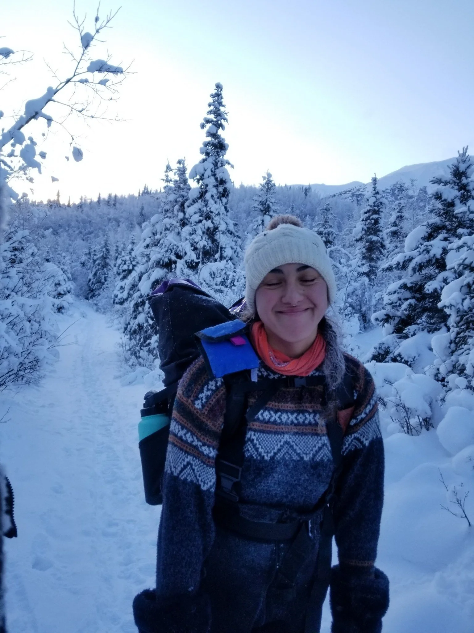
My time living in the land of the Dena’ina peoples helped me reconnect with my Indigeneity through land-base learning and the sharing of traditional knowledge from others. I entered in a circle of reciprocity with the land and all the other living relatives, that I now consciously maintain. I am forever grateful to my ancestors for guiding me, and to the land for holding me during this process, especially the moon.
About guadalajara
guadalajara was the capital when Mexico was a spanish colony, and it’s a space deeply scarred by colonization. The city inherited white, rich, settler colonizer families that never left, therefore it is a catholic, conservative, corrupt, racist, and elitist place; nowadays a key part of narco traffic, adding an extra layer of violence.
The city was designed and built to racially segregate people from its inception.
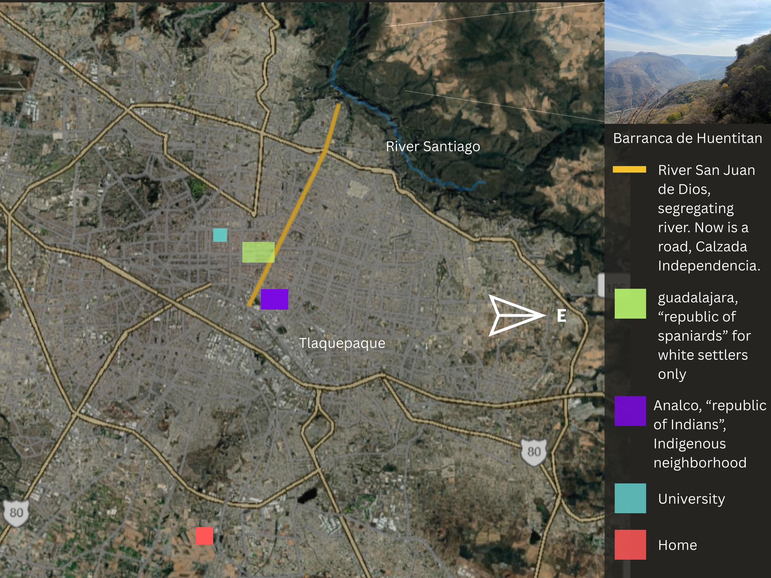
The river “Santiago” was used as physical delimiter that placed Indigenous Peoples on it’s east side and white settlers at west.
This segregation was turned into a public policy, mandating Indigenous Peoples to live only in designated concentrated areas far from the city center. These concentrated areas called “Indians Republics” were isolated, disconnected and not considered part of guadalajara.
Analco was the first Indigenous Peoples neighborhood in colonial guadalajara.
Transportation from the Indians Republics to guadalajara was incredibly hard and long, making it inaccessible (see map).
In the pursuit of urbanizing and modernizing the city, the river was replaced by a six-lane-wide vehicles artery. The nature of the delimiter changed, the segregation remains
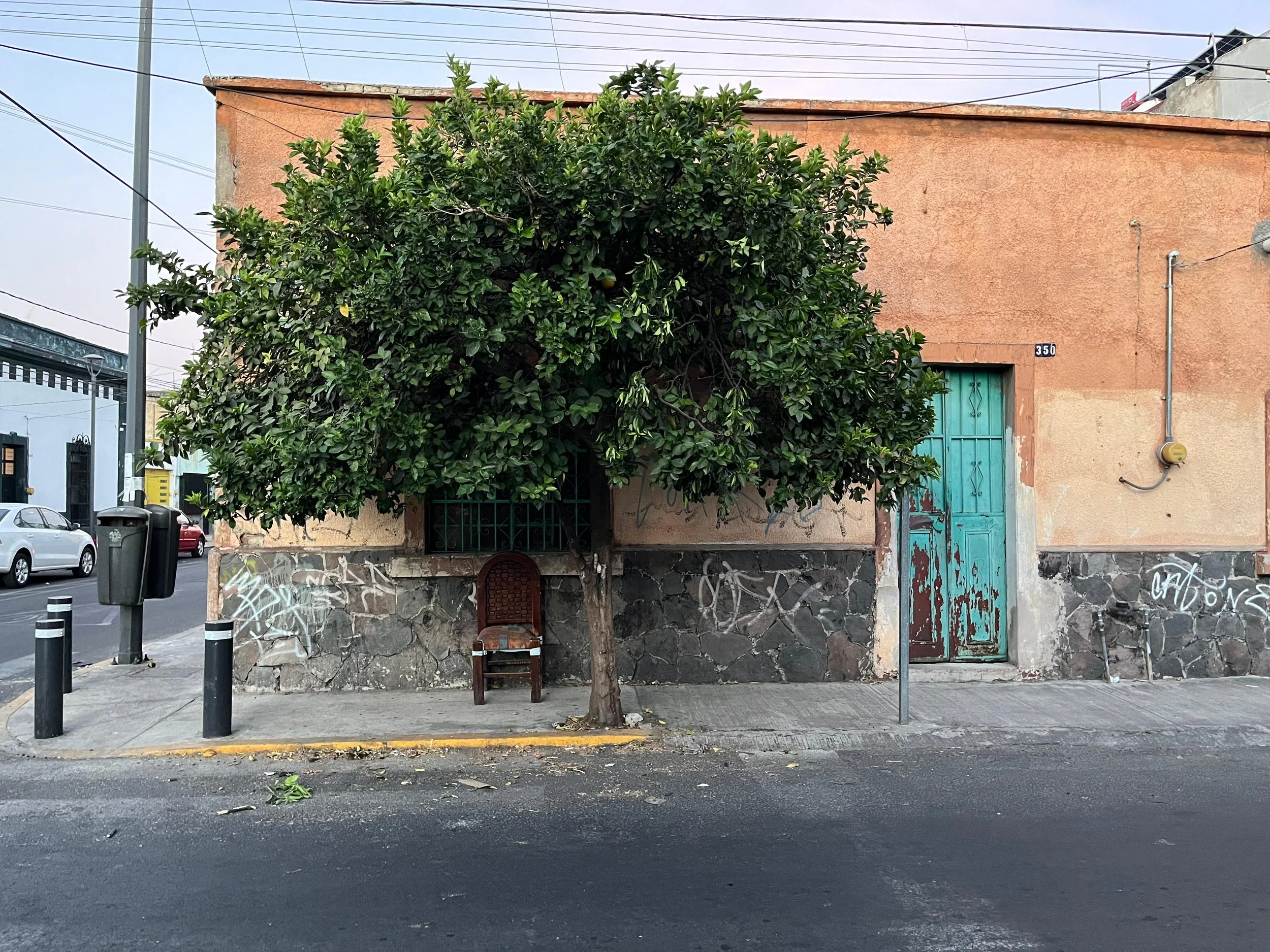
House in guadalajara, neighborhood "Santa Tere"
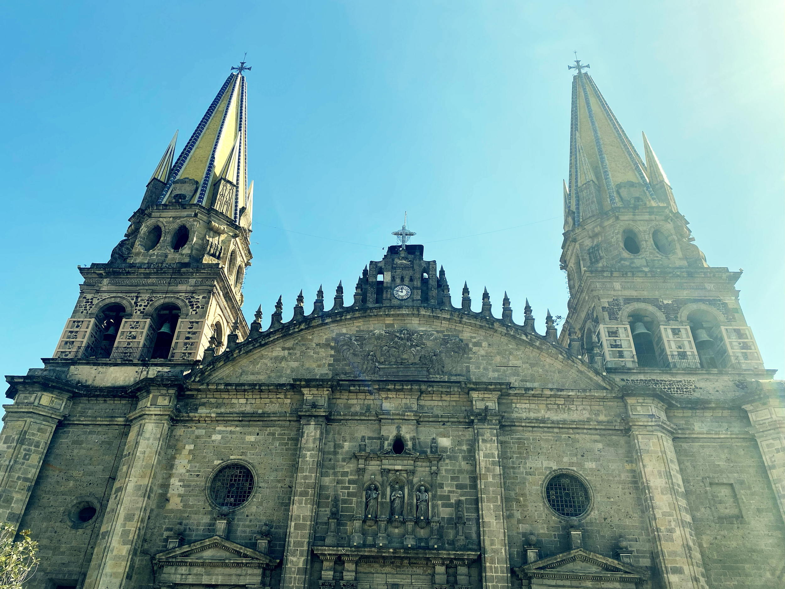
Cathedral of guadalajara, located at the city center
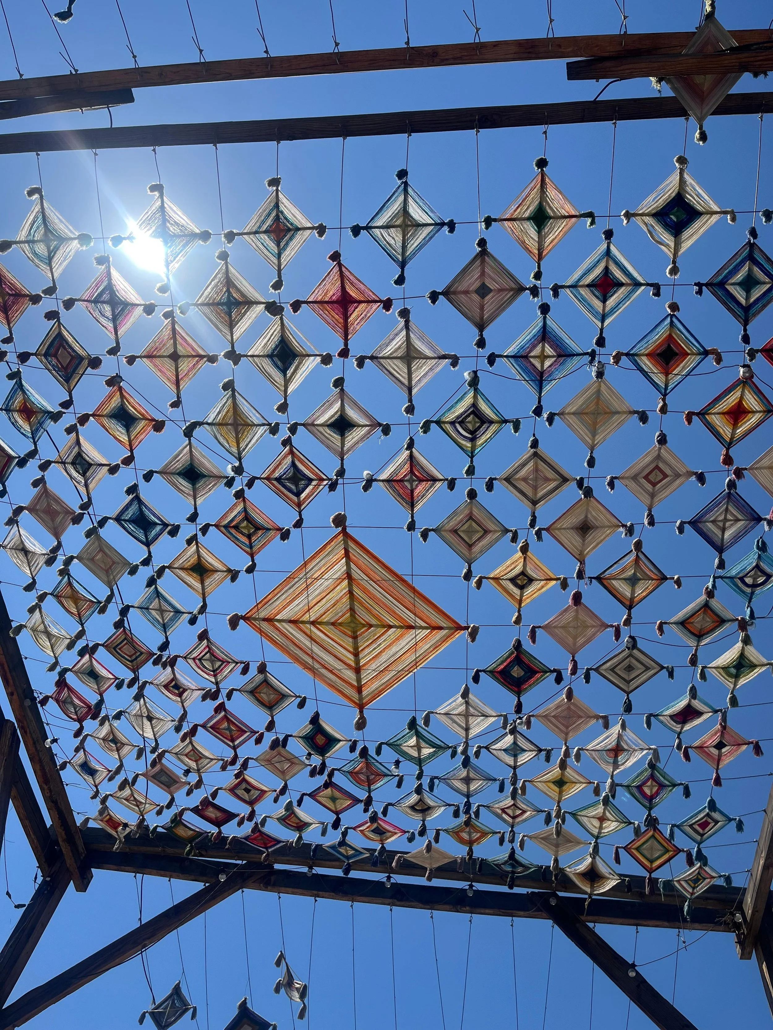
Ojos de Dios sun shade installation in guadalajara's city center pedestrian area
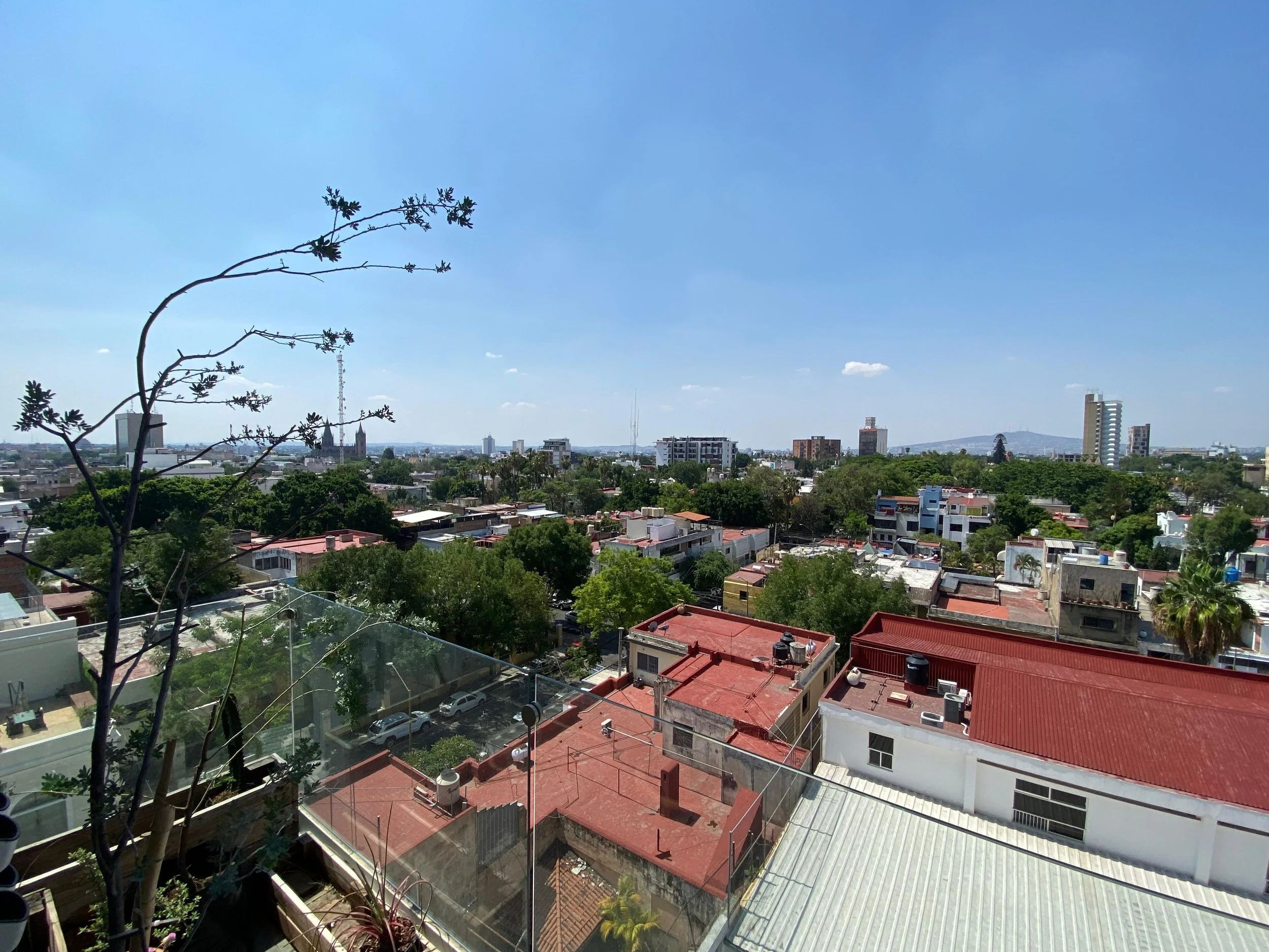
Rooftop view of the neighborhood "Colonia Americana/American Colony"
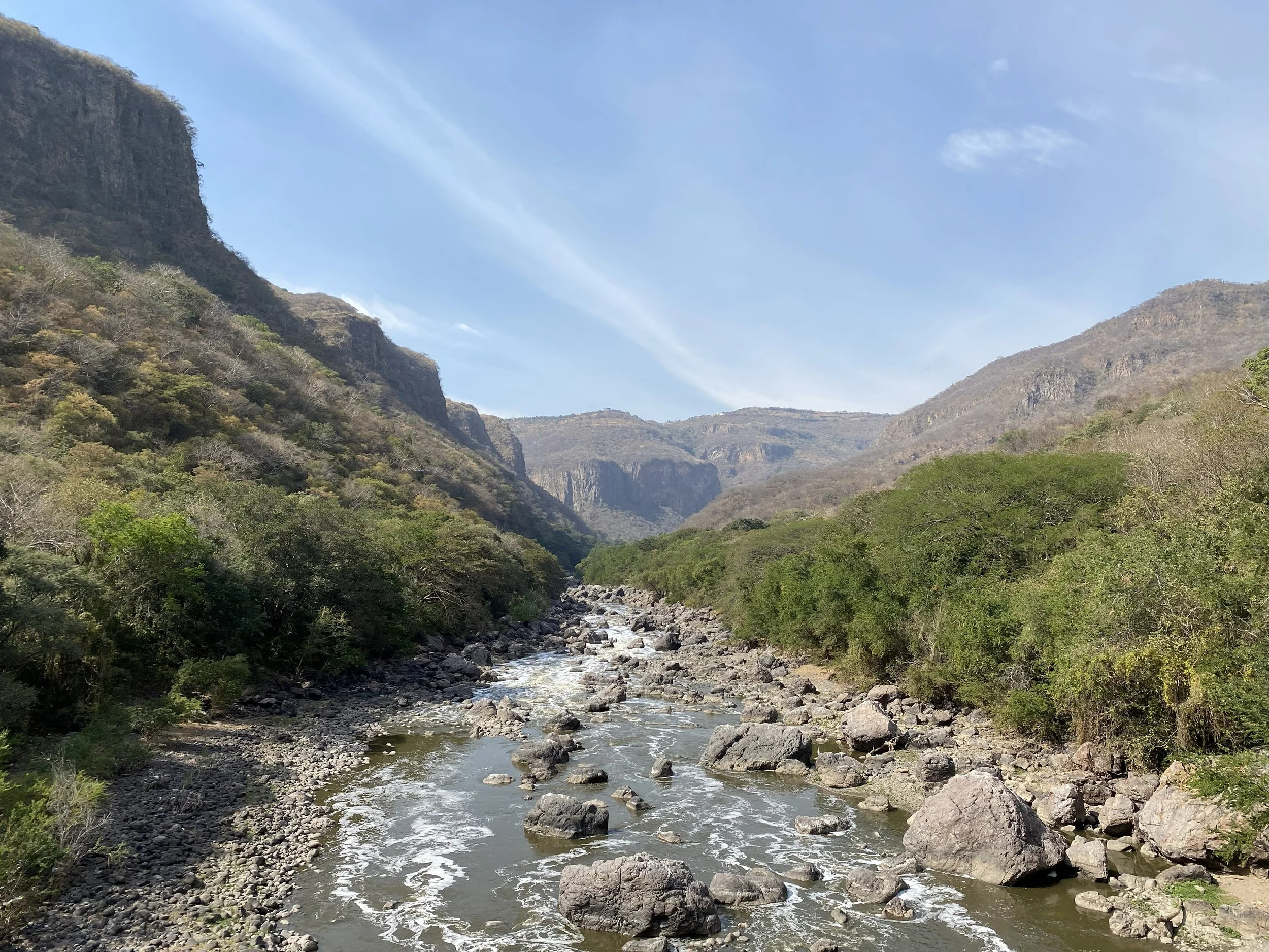
River Santiago at the nort east side of the city. The river San Juan de Dios, used as segregator would run and join this river.
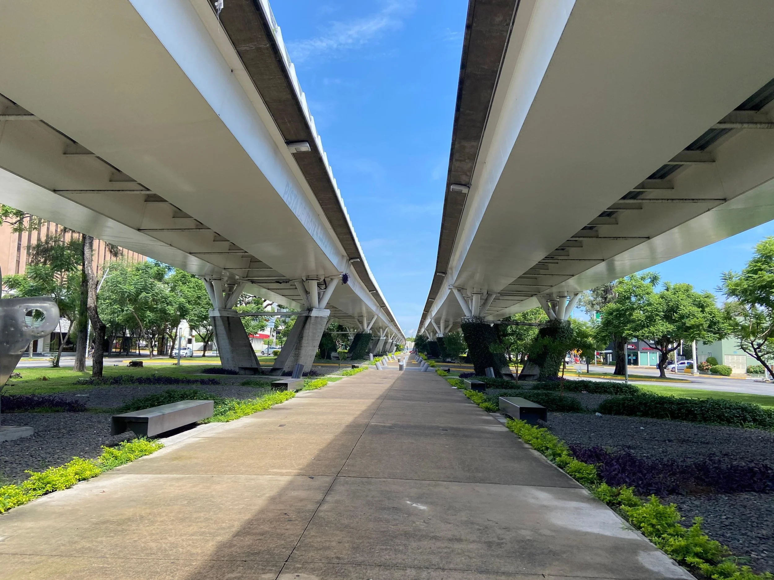
view under the bridge "Matute Remus" a modern emblem of the city created just for vehicles to transit
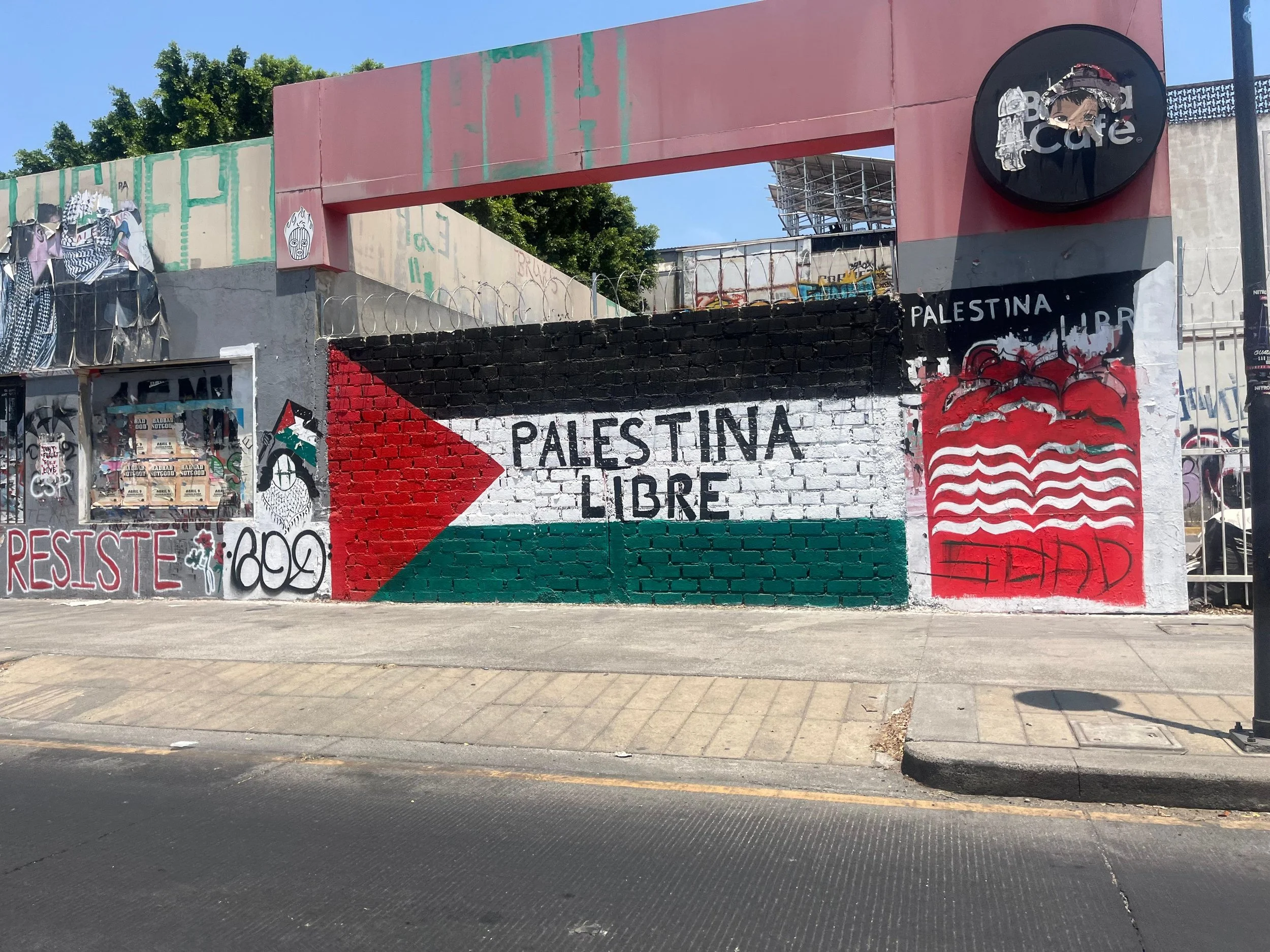
Graffitti on an abandoned building in "Colonia Americana/American Colony"
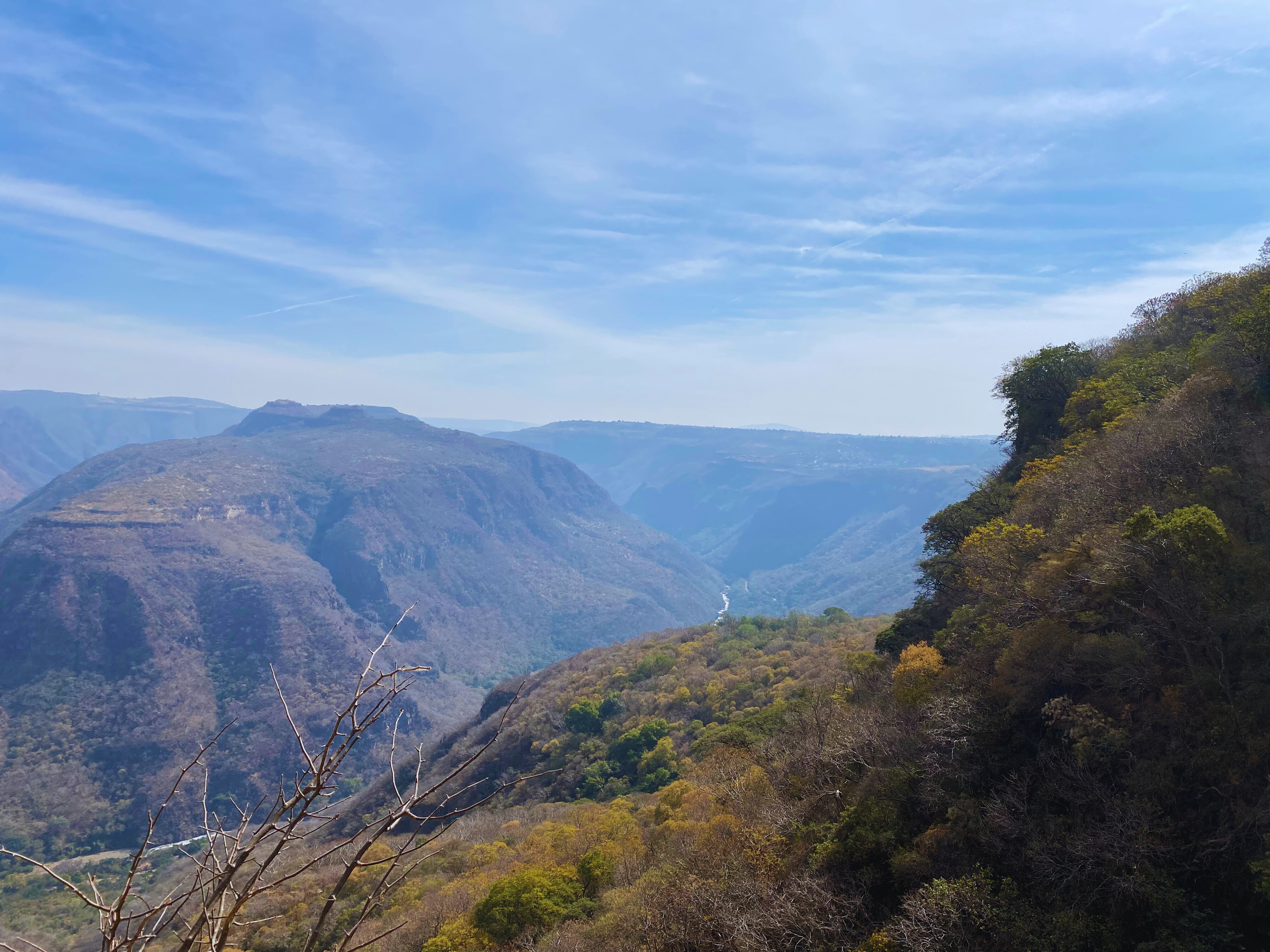
Barranca de Huentitan, located at the north east of the city, you can see the River Santiago running at the bottom
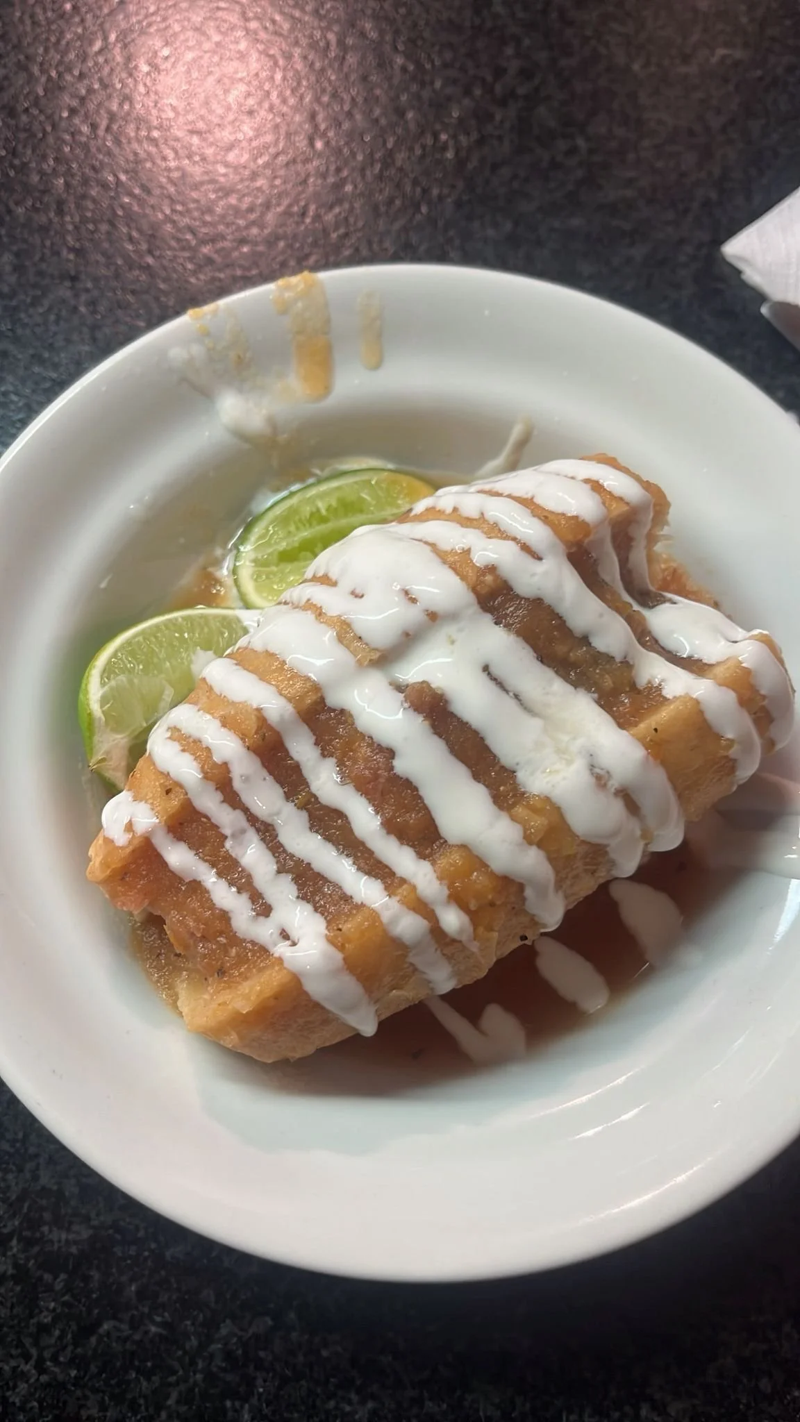
Lonche bañado. Dish in Guadalajara.
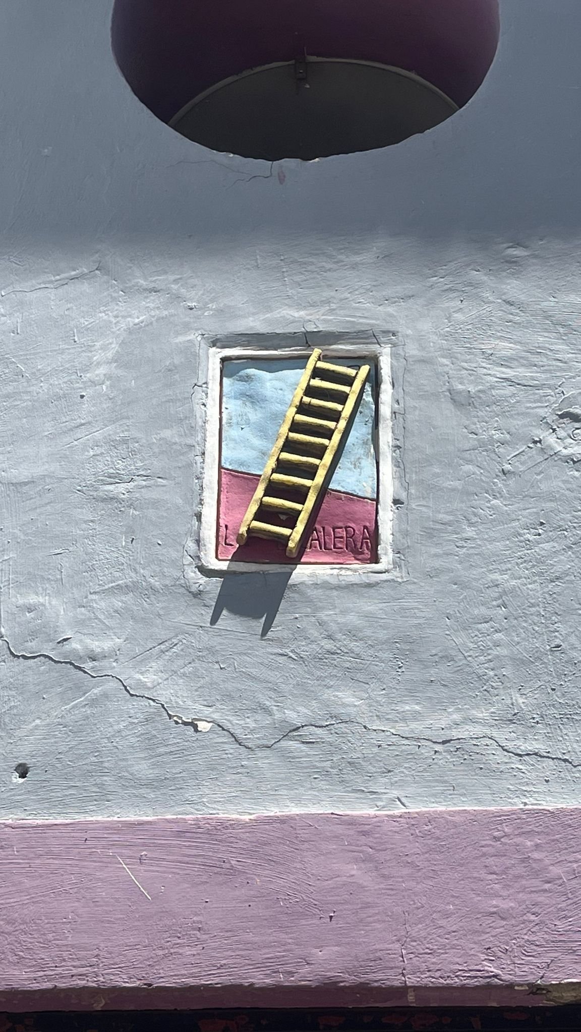
"La escalera", architectonic relief found in a wall in a house in downtown Guadalajara. Insired in the mexican card game "Lotería".